Weather: Met Office predicts cold temperatures and clear skies
We use your sign-up to provide content in ways you’ve consented to and to improve our understanding of you. This may include adverts from us and 3rd parties based on our understanding. You can unsubscribe at any time. More info
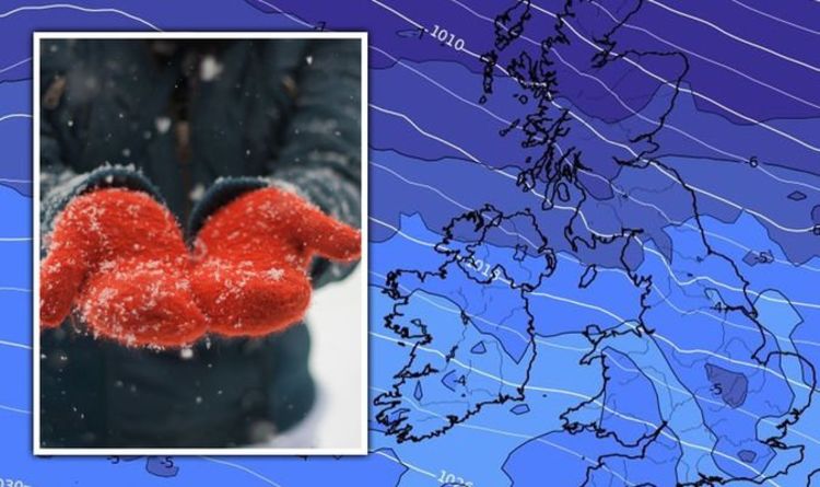
Maps and charts hold Friday is set to see a return to snowy conditions after Storms Malik and Corrie struck over the weekend. Conditions will be close or below 0C overnight across the country for much of the week, before a polar storm begins to build in the Atlantic.
According to maps from WXCharts, conditions will stay mild throughout Wednesday and much of Thursday, before snow strikes on Friday.
While temperatures begin drop to between -3C and 3C overnight across Britain, charts show Scotland and Northern Ireland will be struck by rain from 3pm on Thursday.
Up to 2mm is forecast an hour over Glasgow, with the band of rain pushing southeastwards throughout the day, covering the north east of England and top of Wales by 6pm.
At the same time, 1cm of snow will begin to fall other the Hebrides and west Scotland.
Much of it will clear by 9pm, staying localised to the coast line, as the band of rain begins to turn into snow over parts of the north west.
Snow will then return overnight, striking much of Scotland and parts of the north west with 1cm falling at 6am.


Throughout the weekend and beginning of the week, conditions are set to stay stable over much of mainland Britain, with some rain over the west coast of Scotland.
However, by February 8, low pressure will see a polar storm build over the Atlantic, before sending bands of rain over the UK from 6am.
By February 10, this system will strike in earnest with 2cm of rain over Scotland by midday, before ending by the end of the day.
February 11 then sees low pressure bring unsettled conditions from the southwest of England, causing rain in most areas south of the midlands, and snow north.
By midday on February 12, WXCharts holds 24cm of snow will have fallen in the west of Scotland, while 1cm remains on the ground near Durham.


Nick Finnis, Netweather.tv senior forecaster, wrote for the agency’s website that following sunny spells on Thursday morning, there will be “a change in airmass for the end of the week, as a cold front with a band of rain sweeps southeast later in the day”.
He said: “A big change come the end of Thursday, as a cold front sweeps southeast introducing colder polar air from the northwest for all parts by Friday, but before then a dry, mild and bright but breezy morning for many.
“But the cold front with a band of heavy rain will arrive off the Atlantic across NW Scotland by lunchtime, before sweeping southeast across Scotland and N. Ireland through the afternoon, much colder air with wintry showers following the rain band across NW Scotland.
“Mostly dry and mild but increasingly windy across England and Wales through the afternoon.
“The active cold front with its heavy rain band will continue to sweep southeast across England and Wales Thursday evening and night, not reaching southern England until the early hours of Friday.
“A cold but clearer northwesterly flow following, but with it sleet and snow showers feeding in across western Scotland and the north coast of Northern Ireland.
“A risk if ice where these showers fall as temperatures dip close to freezing.”


Mr Finnis then continued: “A much colder day for all on Friday, in a strong northwesterly flow, which will feed in sleet, hail and snow showers across northern and western Scotland, northern coasts of N. Ireland, NW England and west Wales.
“But for the rest of England and Wales it will be dry and sunny. Temperatures reaching 5-8C.
“Then over the weekend, wind backing westerly again, so less cold but the strong wind will make it feel chilly in the north.
“Southern areas mostly dry but with a lot of cloud over the weekend. Unsettled across the north, with frontal systems bringing outbreaks of rain to Scotland, N. Ireland and northern England on Saturday, preceded by hill snow across Scotland for a time.
“Further outbreaks of rain along a cold front slowly sinking south across southern Scotland and northern England on Sunday, brighter but colder with wintry showers across northern Scotland.”


The Met Office also wrote in its outlook for the end of the week: “Wind and rain will spread south on Thursday, reaching the southeast in the evening.
“Cold, with wintry showers following, snow in the north and some overnight frost. Turning milder Saturday.”
In its longer range forecast from February 6 to February 15, it said: “Most places fairly cloudy on Sunday, and outbreaks of rain will move southeast through the day, with colder conditions to the north, and milder conditions to the south.
“Through the rest of the period high pressure remains to the southwest of the UK and is expected to push low pressure systems towards the north of the country.
“This will lead to an unsettled picture for much of the UK with heavy rain, stronger winds and a risk of wintry precipitation in the north while the south is expected to remain largely dry.
“It will be milder for many especially in the south of the country while brief colder incursions from the north are possible throughout the period.”
Source: Read Full Article
