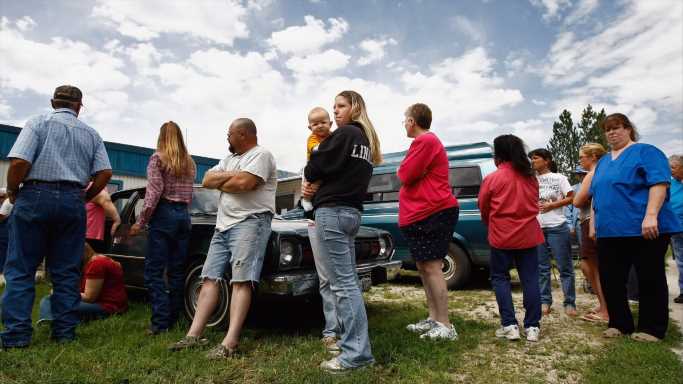
There are an estimated 39.5 million Americans living below the poverty line, which, in the lower 48 states, is an annual income threshold of $12,880 for an individual and $26,500 for a family of four (Alaska and Hawaii have a slightly higher threshold). Living in poverty can have serious consequences and impacts nearly every aspect of life — and those problems can be compounded for those who are facing poverty while also living in very poor neighborhoods.
Residents of poor neighborhoods often struggle with higher crime rates, limited employment opportunities, lower school quality, and worse health outcomes. For those living on poverty level income, each of these factors can reduce the likelihood of upward economic mobility.
Using data from the U.S. Census Bureau, 24/7 Wall St. identified the city in every state hit hardest by extreme poverty. We ranked metro areas in each state by the share of the population living below the poverty line in neighborhoods with poverty rates of 40% or higher.
A lack of economic opportunity in the poorest neighborhoods in cities across the United States makes it more difficult for many residents to pull themselves out of poverty. For example, only about 62% of households in high-poverty neighborhoods have internet access, compared to over 80% of all U.S. households. Additionally, the five-year average unemployment rate in high-poverty neighborhoods in U.S. metro areas is 12.9%, more than double the 5.2% jobless rate in metro area neighborhoods with poverty rates below 40%.
In keeping with the national pattern, in most of the cities hit hardest by extreme poverty in each state, the jobless rate in poor neighborhoods is more than double the rate in the rest of the city. Here is a look at the states where people gave up looking for jobs during the pandemic.
Click here to see the city hit hardest by extreme poverty in every state
To identify the city hit hardest by extreme poverty in every state, 24/7 Wall St. reviewed five-year data on concentrated poverty from the U.S. Census Bureau’s 2019 American Community Survey. Metropolitan areas were ranked based on the share of poor residents who live in extreme poverty neighborhoods — census tracts with a poverty rate of 40% or higher. This measure is called the extreme or concentrated poverty rate, and is calculated by aggregating data from the census tract level to the metropolitan area level.
In our analysis, we only considered census tracts with at least 500 people and college or graduate school enrollment below 50%. Metro areas were also excluded if over 25% of the population in tracts or neighborhoods of concentrated poverty were college or university students. Data was aggregated using boundary definitions for March 2020 from the Census Bureau.
All other data referenced, including educational attainment, homeownership, internet access, SNAP benefit recipiency, average household income, and unemployment are also from the 2019 ACS. Figures were aggregated from the census tract to the metropolitan level.
Source: Read Full Article